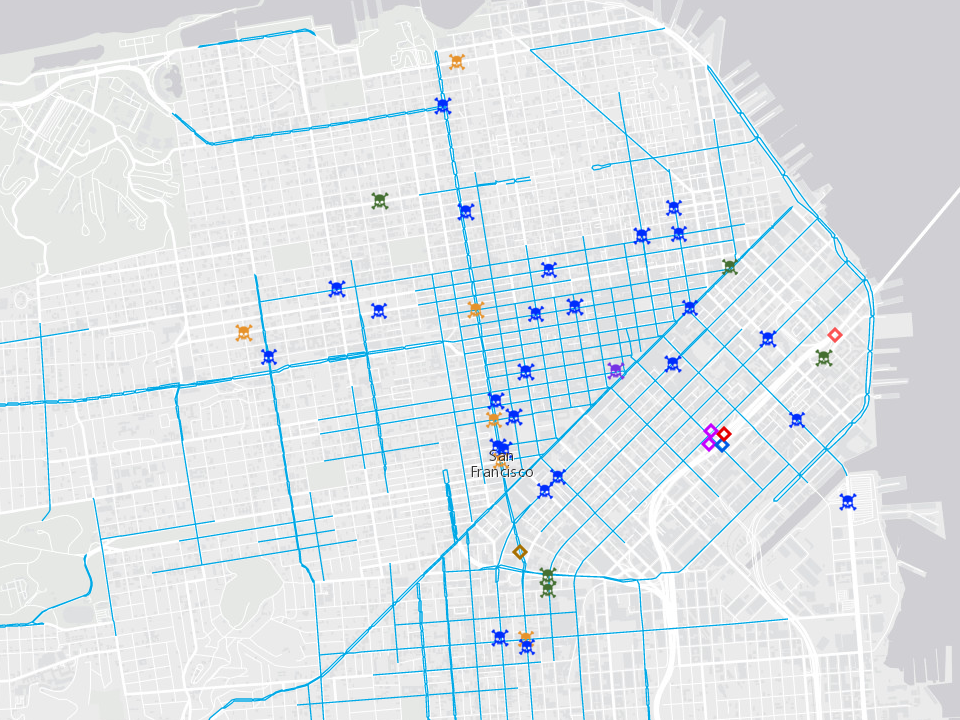

JFK Drive from Stanyan to Great Highway (in Golden Gate Park) closed from 3 a.m.Chain of Lakes Street from Fulton to Lincoln (in Golden Gate Park) closed from 3 a.m.Bernice Rodgers Way from JFK to MLK (in Golden Gate Park) closed from 3 a.m.Fell Street from Divisadero to Stanyan closed from 6 a.m.Hayes Street from Market to Divisadero closed from 6 a.m.Ninth Street from Howard to Market closed from 6 a.m.Howard Street from Third to Ninth closed from 6 a.m.Point Lobos Avenue from 48th to Great Highway closed from 5 a.m.Balboa Street from 46th to Great Highway closed from 5 a.m.Cabrillo Street from 46th to La Playa closed from 5 a.m.Great Highway from Balboa to Point Lobos closed from 5 a.m.Baker Street from Oak to Fell closed from 5 a.m.Steiner Street from Grove to Hayes closed from 5 a.m.Divisadero from Grove to Oak closed from 5 a.m.New Montgomery Street from Mission to Howard closed from 3 a.m.Second Street from Mission to Folsom closed from 3 a.m.First Street from Mission to Folsom closed from 3 a.m.Fremont Street from Mission to Folsom closed from 3 a.m.Beale Street from Mission to Folsom closed from 3 a.m.Howard Street from Beale to Third closed from 3 a.m.Balboa parking lot closed from midnight Saturday through 4 p.m.Great Highway from JFK Drive to Balboa closed from midnight Saturday through 4 p.m.MLK Drive from Bernice Rodgers Way to Lincoln (in Golden Gate Park) closed from 9 p.m.47th from Fulton to JFK (in Golden Gate Park) closed from 9 p.m.Great Highway from Sloat to JFK Drive closed from 9 p.m.Westbound Lincoln Way from 48th to Great Highway closed from 9 p.m.Eastbound Lincoln Way from Great Highway to La Playa closed from 9 p.m.Westbound Fulton Street from 46th to Great Highway closed from 9 p.m.Eastbound Fulton Street from Great Highway to 48th closed from 9 p.m.La Playa Street from Cabrillo to Fulton closed from 9 p.m.Steuart Street from Mission to Southerly Terminus closed from 7 p.m.Spear Street from Mission to Folsom closed from 7 p.m.Howard Street from Embarcadero to Beale closed from 7 p.m.Ocean Beach parking lot closed through 6 p.m. Crossover Drive and the Embarcadero are recommended north/south routes over the race route. To make way for the 7.5-mile route, several streets will close throughout the weekend, and public transportation services will run special schedules to get participants there on time. from the starting line at Main and Howard streets, the racers will head west through the city, up the Hayes Street Hill, along the Panhandle, through Golden Gate Park to Ocean Beach.

San Francisco’s iconic Bay to Breakers footrace will once again cut across the city from the Embarcadero to Ocean Beach on Sunday, bringing tens of thousands of runners, walkers and revelers in wacky costumes to participate in the only-in-San-Francisco tradition. Gabrielle Lurie/The Chronicle 2019 Show More Show Less People run the Bay to Breakers race at Howard and 9th Streets in San Francisco on May 19, 2019. Benjamin Fanjoy/Special to The Chronicle Show More Show Less 4 of4 Thousands of runners, many wearing colorful costumes, participate in the Bay to Breakers footrace on May 15, 2022. Jungho Kim/Special to The Chronicle Show More Show Less 3 of4 Runners proceed by the Panhandle in the Bay to Breakers footrace on May 15, 2022. Benjamin Fanjoy/Special to The Chronicle Show More Show Less 2 of4 Caltrans Lane Closures and Delays - View as orange cones on the Cruz511 map.Runners were happy to again participate in the Bay to Breakers footrace on May 15, 2022, after the live event was canceled for two years because of the pandemic.Highway Patrol (CHP) Traffic Incidents - Select Monterey to see list or click on yellow or red triangles with an exclamation point on the Cruz511 map to view details.Need more information? Don’t forget to check out to these local resources. Get breaking traffic news, including road closures and major traffic alerts. Snapshots from these cameras are updated every few minutes on the Cruz511 traffic map. Caltrans operates and maintains a network of 16 traffic cameras at highway locations throughout Santa Cruz County. View live freeway traffic conditions before you start your commute. Monitor traffic congestion and incidents, lane closures, traffic cameras, changeable message signs and traffic speeds on freeways and local roads in Santa Cruz County and throughout the state.


 0 kommentar(er)
